
North Side Improvements
Project Description
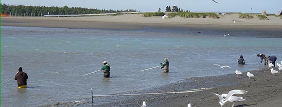
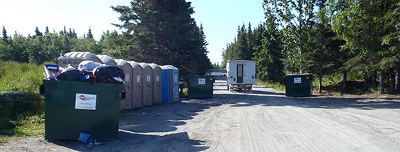
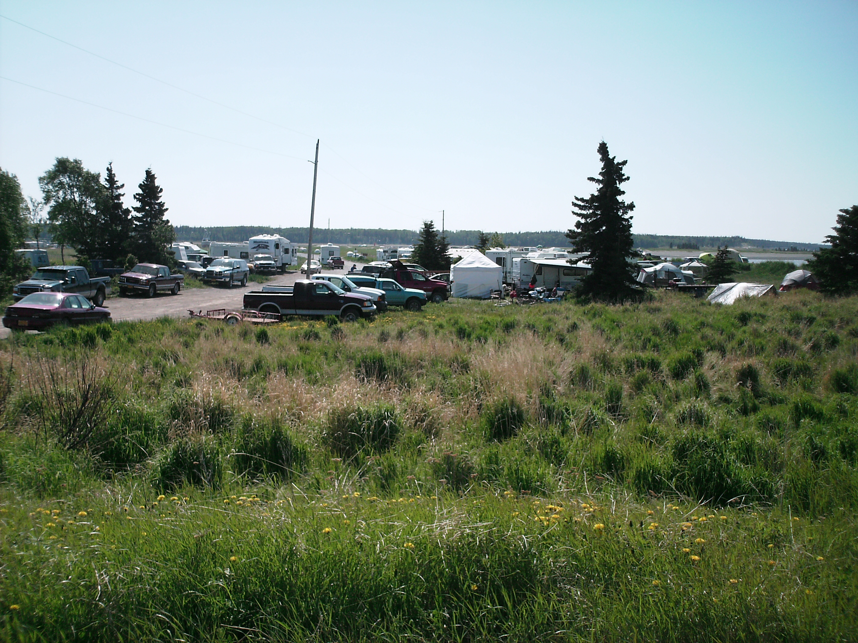
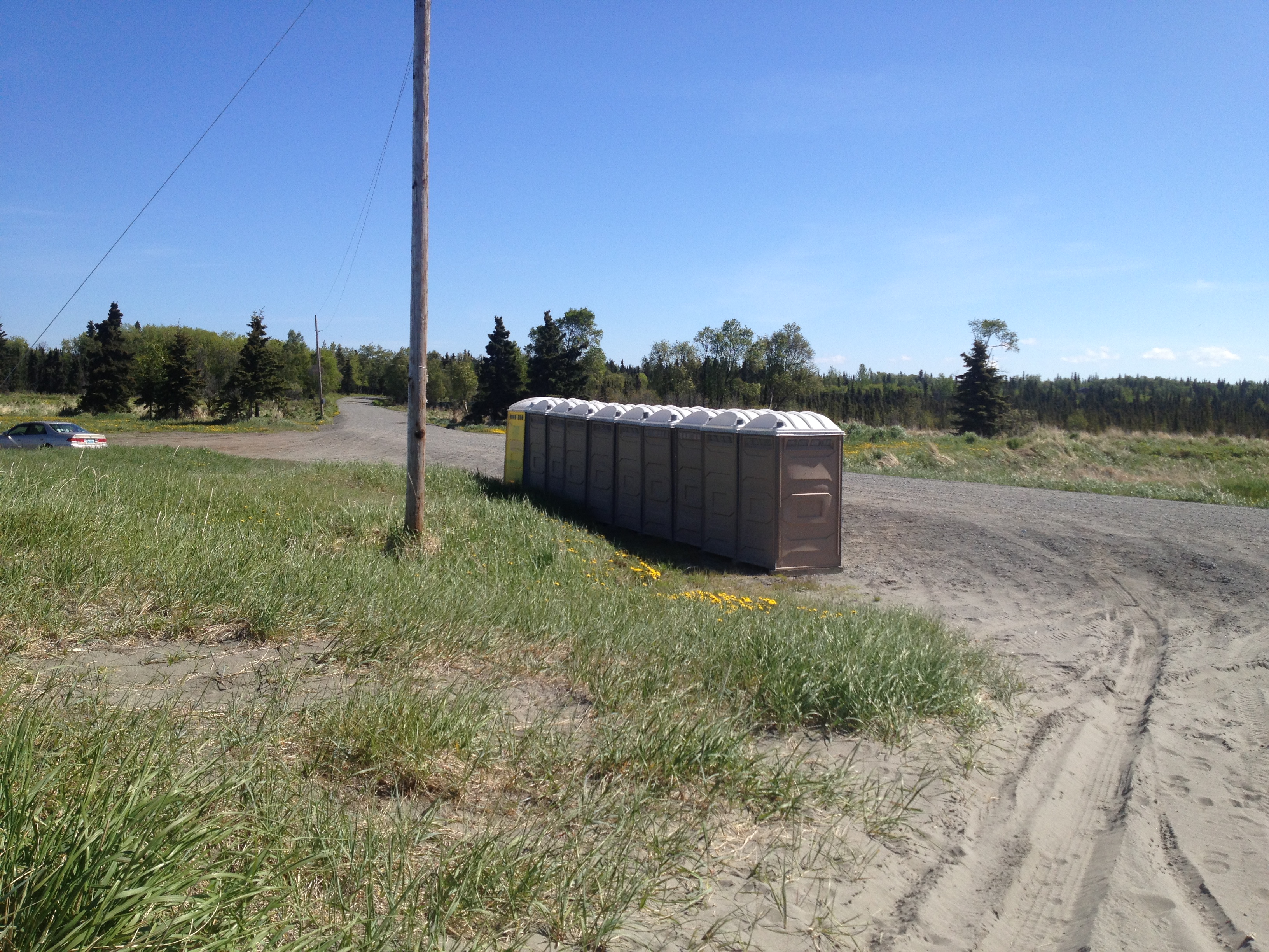
Starting in 2010, the Southcentral Region Office (SCRO) within the Division of Mining, Land and Water responded to the public's concerns over the use and impacts at the mouth of the Kasilof River by exploring management options to address access and sanitation issues associated with the Kasilof River Personal Use Fisheries. After an extensive public review process the Division created the Kasilof River Special Use Area (KARSUA), by decision dated May 26, 2011 and adopted regulations under 11AAC 96.014(b)(26) in 2012. Implementation of the KARSUA was supported by the legislative approval of Capital Improvement Project (CIP) funds in FY14 and FY15 for Phases I and II. The CIP funds allocated to the Division were to be used for the development of parking and sanitation facilities on both the north and south sides of the mouth of the Kasilof River.
After careful consideration and planning SCRO is moving forward with the development of improvements on the north side of the Kasilof River. The focus has shifted solely to the north side because of our ability to bring the needed facilities close to the mouth of the river. The Kasilof Beach Road terminates at the north side of the river mouth and is surrounded by vast amounts of state land that can be developed into long term sustainable facilities. These facilities will help to address the issues created by the growing public participation in the Kasilof River Fishery. The improvements will be developed to maximize the number of vehicles allowed to participate in the fishery while still protecting the surrounding habitat.
Project Location
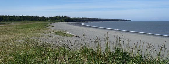
North side of the mouth of the Kasilof River, state lands located on the east and west sides of Kasilof Beach Road.
Timeline of the Planning Process
October 1, 2010: Written Comment Period Begins for the Draft KARSUA Decision
October 2010 – December 2010: Southcentral Region Office Public Meetings
October 21, 2010 6:30pm – 8:30pm: Anchorage, Central Middle School
October 27, 2010 6:30pm – 8:30pm: Kasilof, Tustumena Elementary School
December 2, 2010 7:00pm – 8:30pm: Wasilla, Central Mat-Su Fire Department
December 10, 2010: Written Comment Period Ends for the Draft KARSUA Decision
May 26, 2011: Final KARSUA Decision Issued
December 21, 2012: KARSUA Regulations Implemented
April 2013 and April 2014: FY14 and FY15 Capital Improvement Project Requests Approved
October 15, 2015: Site Plan Concepts Posted to Kasilof River Project Webpage, 45-Day Review Period Begins
February 18, 2016: Site Plan Concepts Posted to Kasilof River Project Webpage, 33-Day Review Period and Public Meetings
February 29, 2016 6:00pm – 8:30pm: Wasilla, Curtis D. Menard Memorial Sports Center
March 3, 2016 6:00pm – 8:30pm: Anchorage, Central Middle School
March 8, 2016 6:00pm – 8:30pm: Kasilof, Tustumena Elementary School
Spring 2016: Site Plan Concept Finalized and the Design and Engineering Process for Construction Begins
Fall 2016 and 2017: Construction of the North Side of the Kasilof River
Final Steps in the Planning Process
Step 1: Public Release of Site Plan Concept – Webpage created for Site Plan Concepts
Step 2: Draft Final Site Plan – Incorporate Revisions for Site Development
Step 3: Approve Final Site Plan – The Southcentral Regional Office Approves and Signs the Final Site Plan for the North Side of the Kasilof River
Step 3: Implement Plan – Final Site Plan Constructed by the Fall of 2016 and 2017
Final Site Plan
The Department of Natural Resources (DNR), Division of Mining, Land and Water, Southcentral Regional Office (SCRO) has approved a final site plan for the north side of the Kasilof River. The final site plan was developed using public and agency feedback received during the 2015 and 2016 comment periods.
Thank you to everyone that participated by attending public meetings and providing written comments during the public and agency review periods. The initial site concept plan aimed at maximizing parking was released for comment for 45-days on October 15, 2015. The majority of the 43 comments received opposed this concept and specifically requested additional opportunities for public involvement. As a result, the SCRO developed four additional site concept plans and initiated another 33-day public review on February 18, 2016. The SCRO conducted public meetings in Anchorage, Wasilla and Kasilof during this review period and received a total of 62 comments.
The final site plan approved by DNR is a combination of site concept plans 1 and 3 which substantially scales back the proposed development within U.S. Survey 83 based on public and agency feedback. A combination of parking, pedestrian access, dune fencing, and a small wildlife viewing platform are planned along with protecting the wetlands and improving traffic flow for personal use fishers and emergency service vehicles. Thank you for taking the time to participate in this important public project.
Final Site Plan Announcement PDF Final & Approved North Side Site Plan PDF